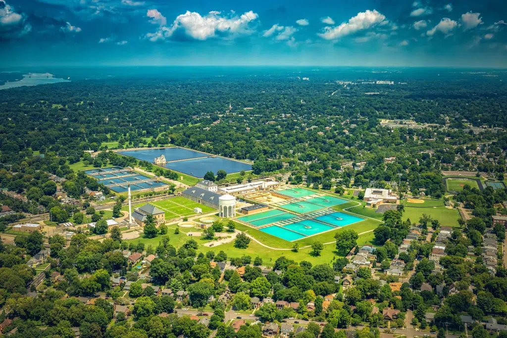
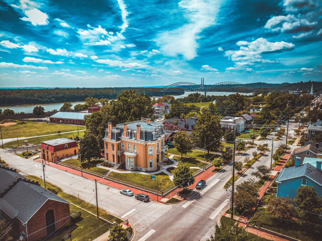
Aerial Photography Louisville
Professional Drone Services in Kentucky & Southern Indiana
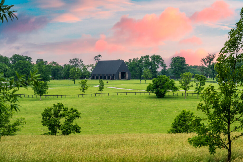
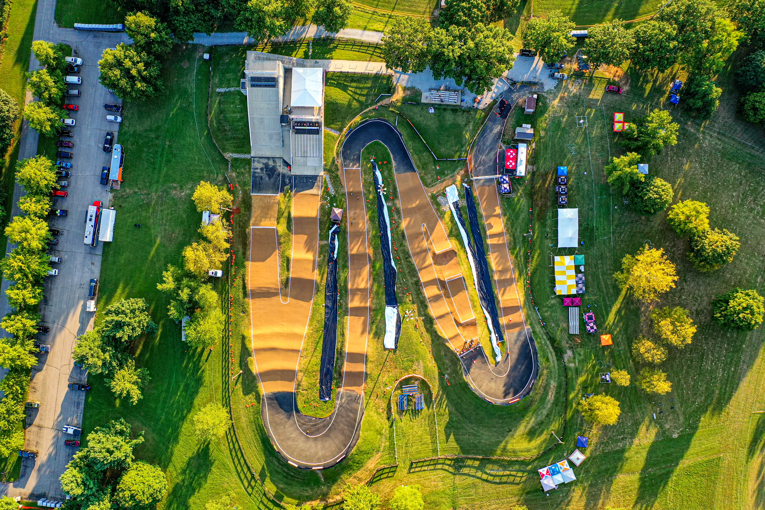
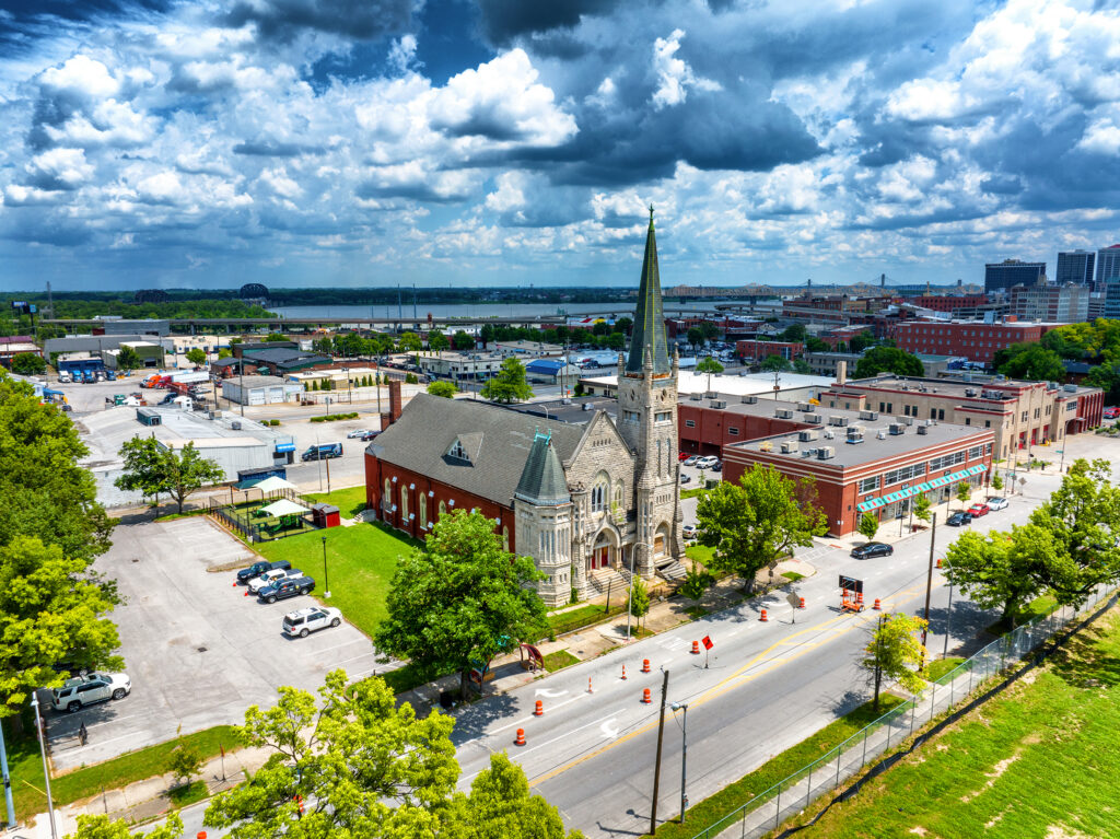
Looking for stunning, high-resolution aerial photography and video in Louisville—or throughout Kentucky and Southern Indiana? At Aerial Photography Louisville, we specialize in FAA-certified drone services that capture breathtaking views and deliver the precision your project demands. From Lexington to Bardstown, New Albany to Brandenburg, and everywhere in between, we provide reliable results—on time and within budget. Whether you need real estate photos, construction progress documentation, aerial mapping, or inspections, our team is ready to elevate your project from every angle.
Professional Aerial Photography & Drone Services in Louisville, Lexington & Across Kentucky
Showcase your projects with stunning aerial photography, cinematic drone video, and precise mapping. Serving Louisville, Lexington, and communities across Kentucky, our FAA-certified team delivers high-quality visuals for real estate, construction, marketing, inspections, and more. Explore our services below to see how we can elevate your next project.
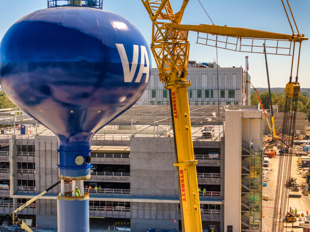
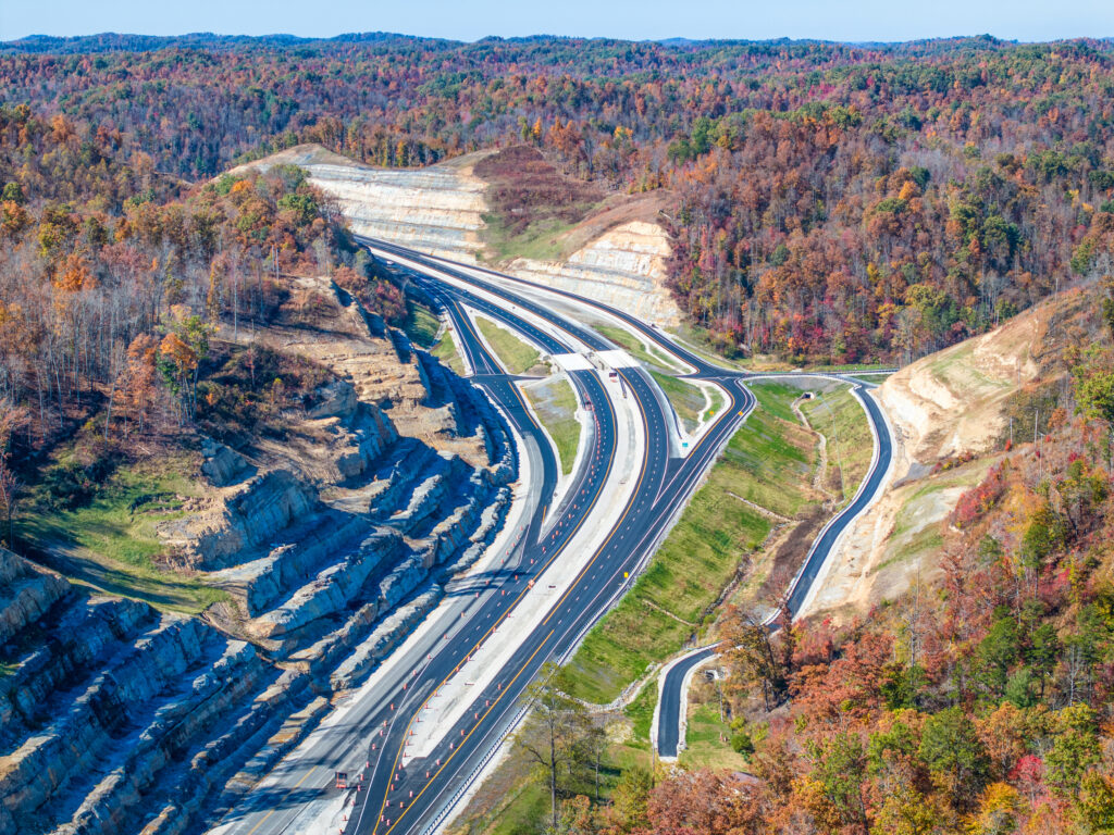
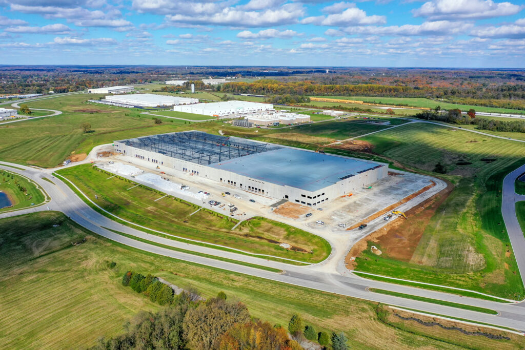
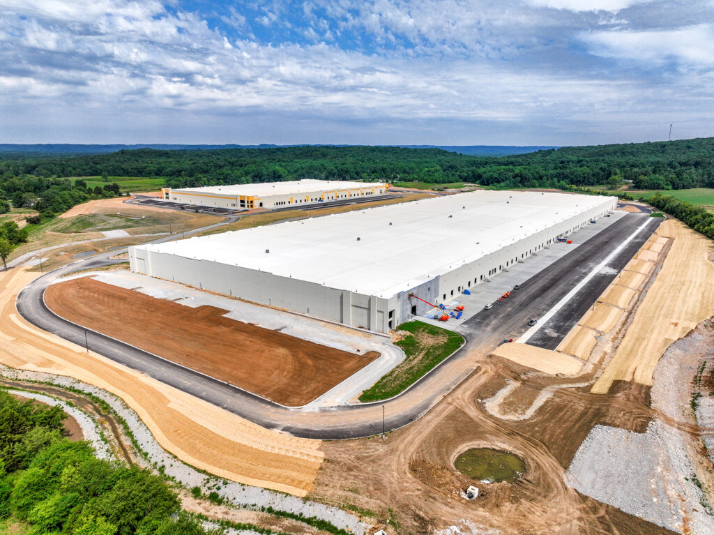
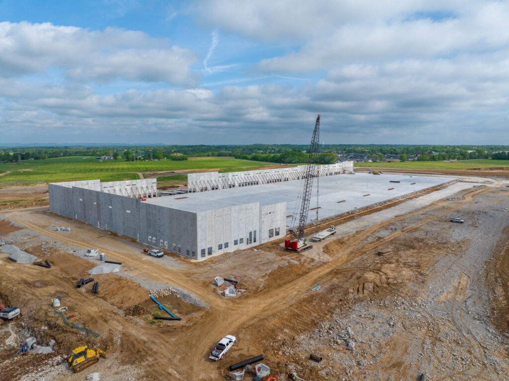
Construction Progress Photography
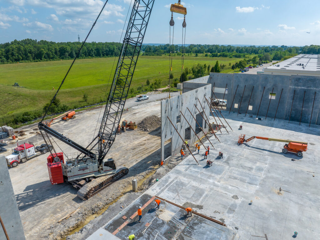
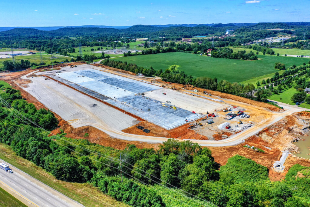
Keep your clients and teams updated with high-resolution aerial photos and videos that document your project from start to finish. Our construction progress photography provides clear visuals for reporting, marketing, and site management—delivered on time and with precision.
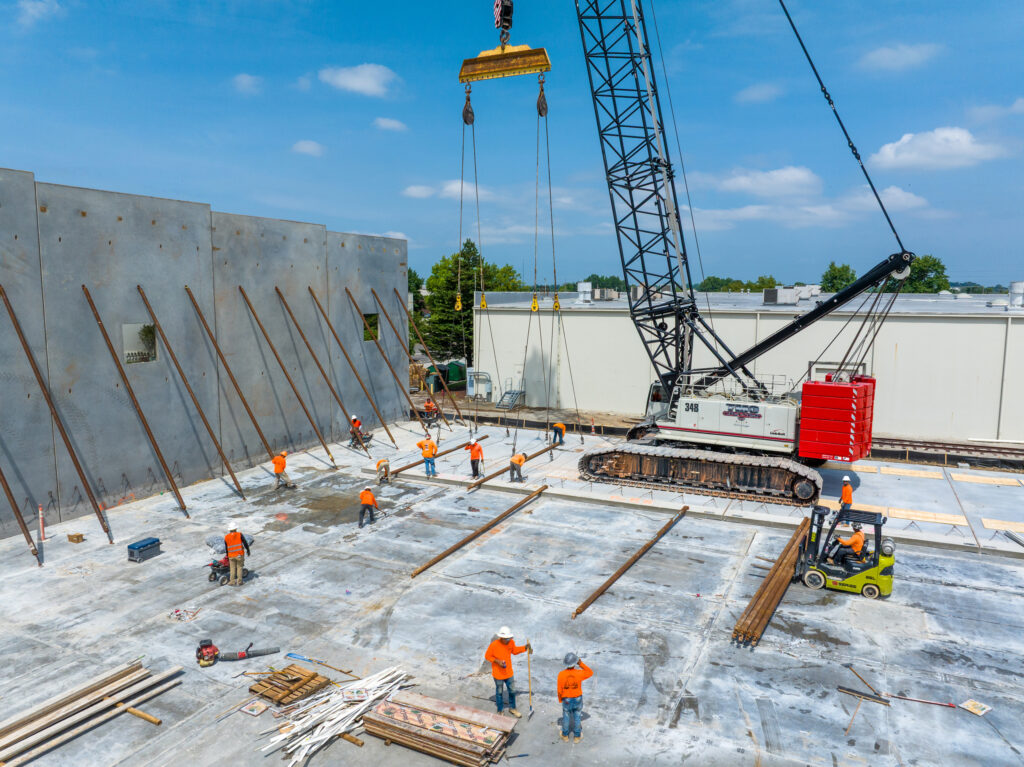
Construction Progress Video
Showcase your project’s growth with dynamic aerial video updates. Our drone footage captures every angle, providing compelling visuals for stakeholders, clients, and marketing. Perfect for progress tracking, presentations, and sharing milestones.
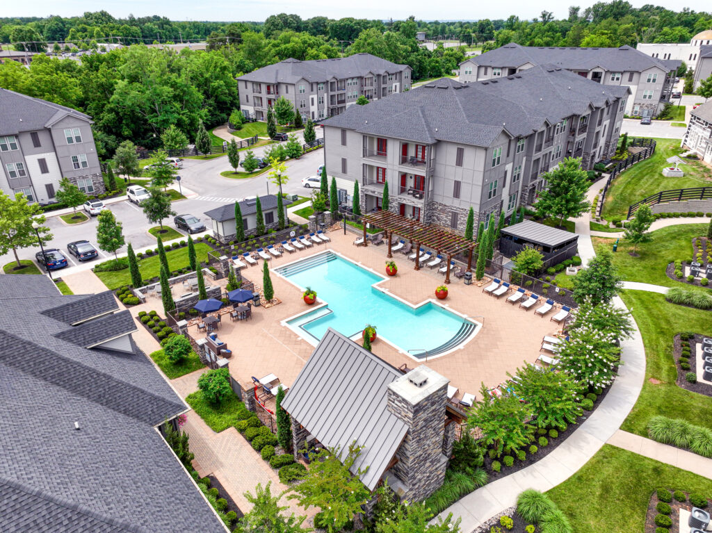
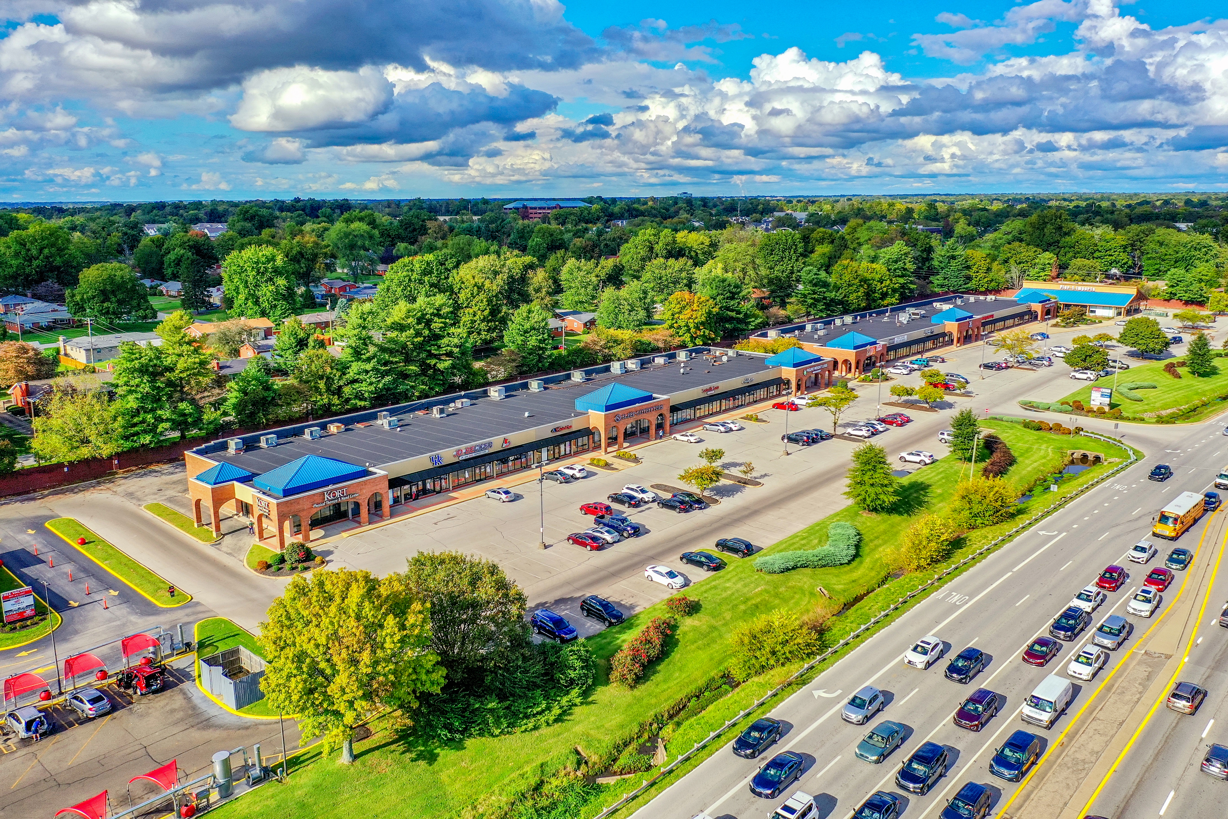
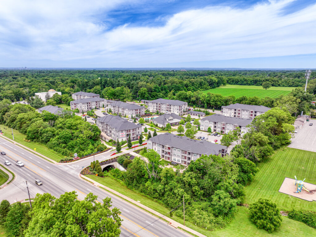
Commercial Real Estate Photography
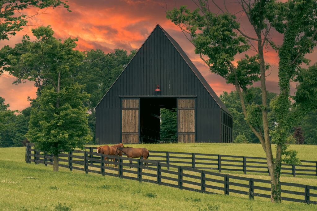
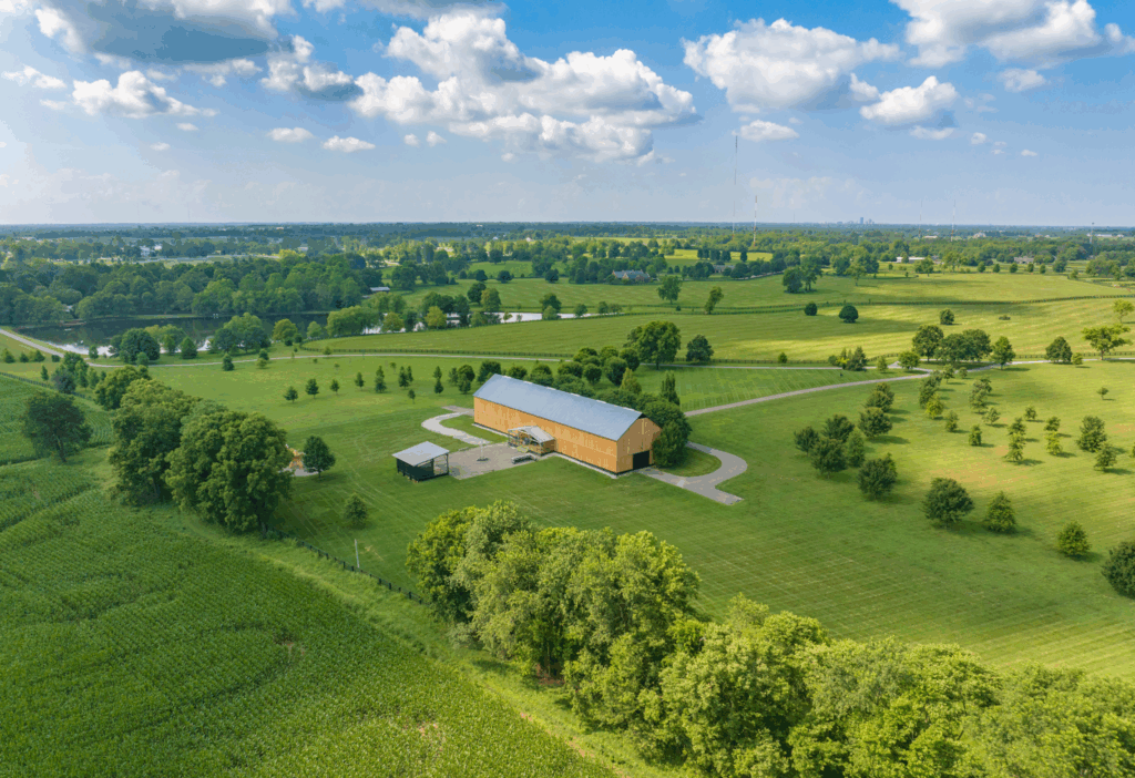
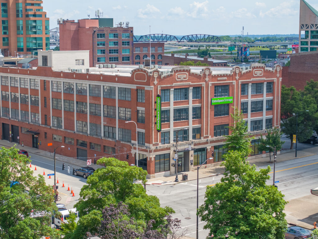
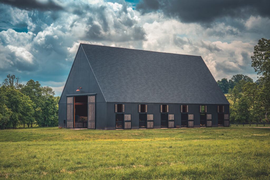
Highlight your property with stunning aerial photos and video designed to impress investors, buyers, and tenants. From office buildings to large commercial developments, our drone services capture the scale, design, and location that set your property apart.
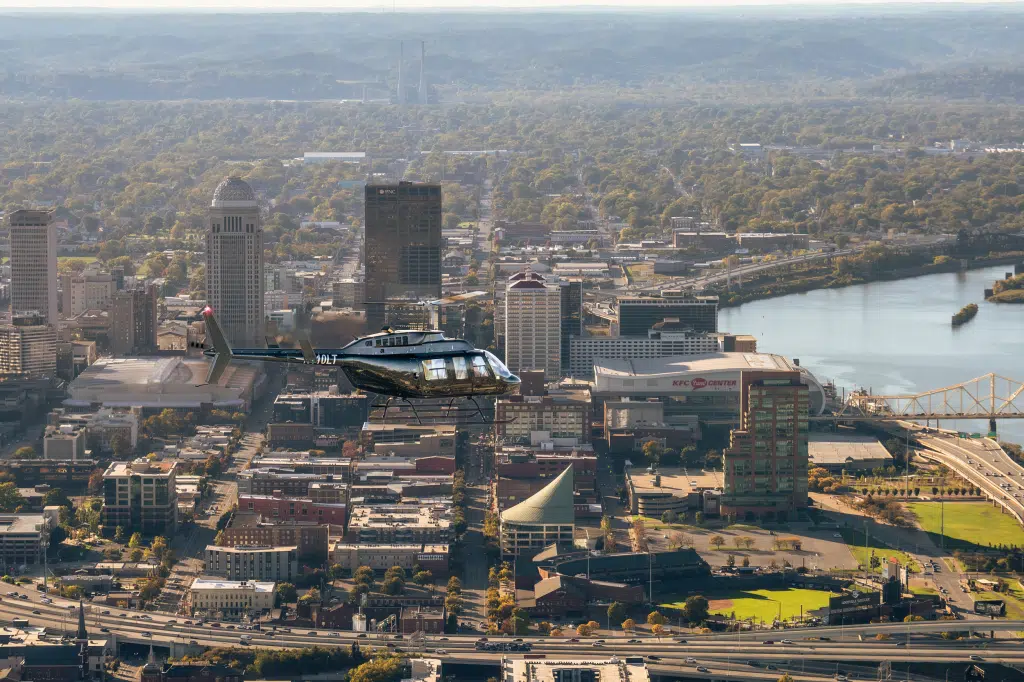
Helicopter Aerial Photography
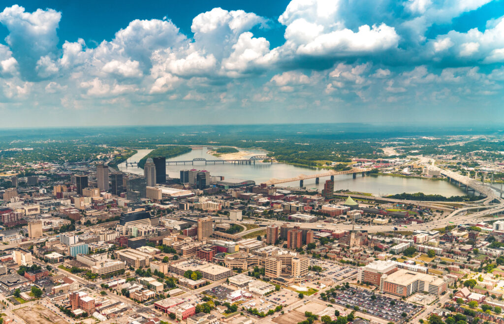
When drones can’t reach the altitude, speed, or angle you need, our helicopter aerial photography delivers. Perfect for large properties, cityscapes, events, and specialized projects, we capture wide perspectives and dynamic shots that showcase scale like never before.
Drone Inspection Services
Reduce risk and save time with professional drone inspections. From roofs and towers to bridges, power lines, and industrial sites, our aerial technology captures high-resolution visuals and data without the need for scaffolding or downtime. Get accurate insights to keep your projects moving safely and efficiently.
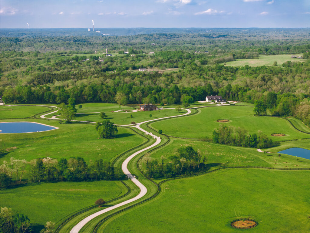
Real Estate Photography
Make every listing stand out with professional real estate photography. We capture crisp interior and exterior images that highlight your property’s best features, creating visuals that attract buyers and leave a lasting impression. From cozy homes to luxury estates, our photos help sell faster and showcase properties in their best light.
Professional Drone Video Services
Bring your projects to life with cinematic drone video that captures every angle in stunning detail. From real estate tours and construction progress to events and marketing campaigns, our high-resolution aerial footage delivers dynamic visuals that engage audiences and set your brand apart.
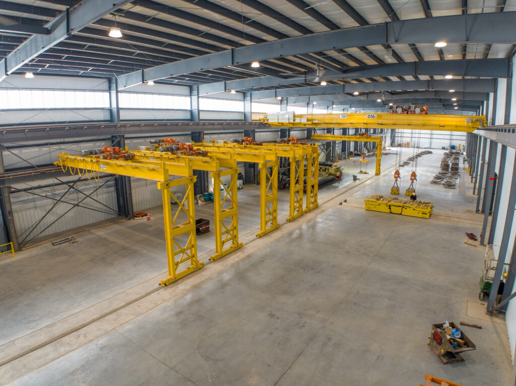
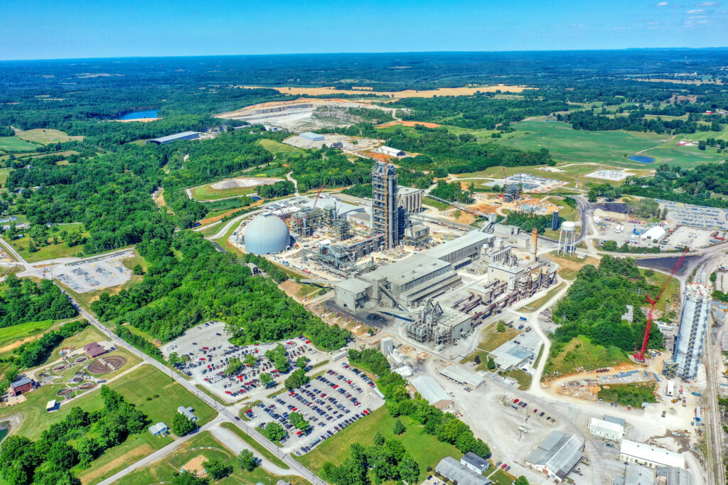
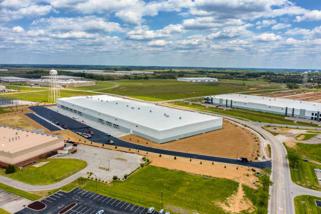
Commercial & Industrial Photography
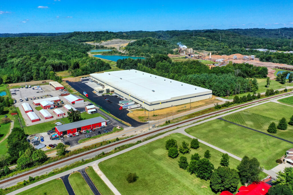
Showcase your business with professional photography designed for commercial and industrial projects. From warehouses and factories to office buildings and large-scale facilities, we deliver high-quality images that highlight both scale and precision. Perfect for marketing, reporting, and documenting your operations.
Areas We Proudly Serve
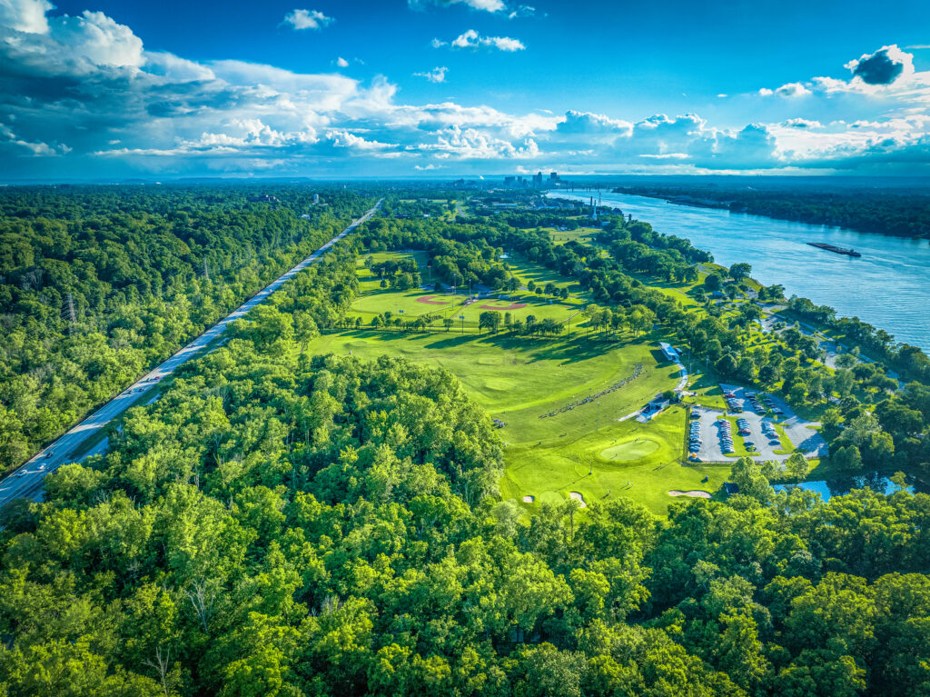
Our drone photography services go beyond Louisville—covering projects across Kentucky and Southern Indiana, including Lexington, Bardstown, New Albany, Brandenburg, and more. From construction progress to marketing visuals and inspections, our FAA-certified team delivers stunning results wherever you need us.
Explore the Skies
From commercial projects and real estate to mapping and inspections, our drone photography and video services capture the detail, scale, and beauty that only an aerial perspective can provide.
Scroll below to explore our latest blog posts, packed with project highlights, expert insights, and inspiration. Click any post to dive deeper and see how aerial imagery can elevate your vision.


