AERIAL PHOTOGRAPHY PORTFOLIO
We’re glad you’re interested in Aerial Photography Louisville, the most professional aerial photographers in our coverage area. Our passion is to help clients capture the perfect image or to document their important project. From initial contact to final delivery, our thorough process provides you with better service and products at an affordable cost.
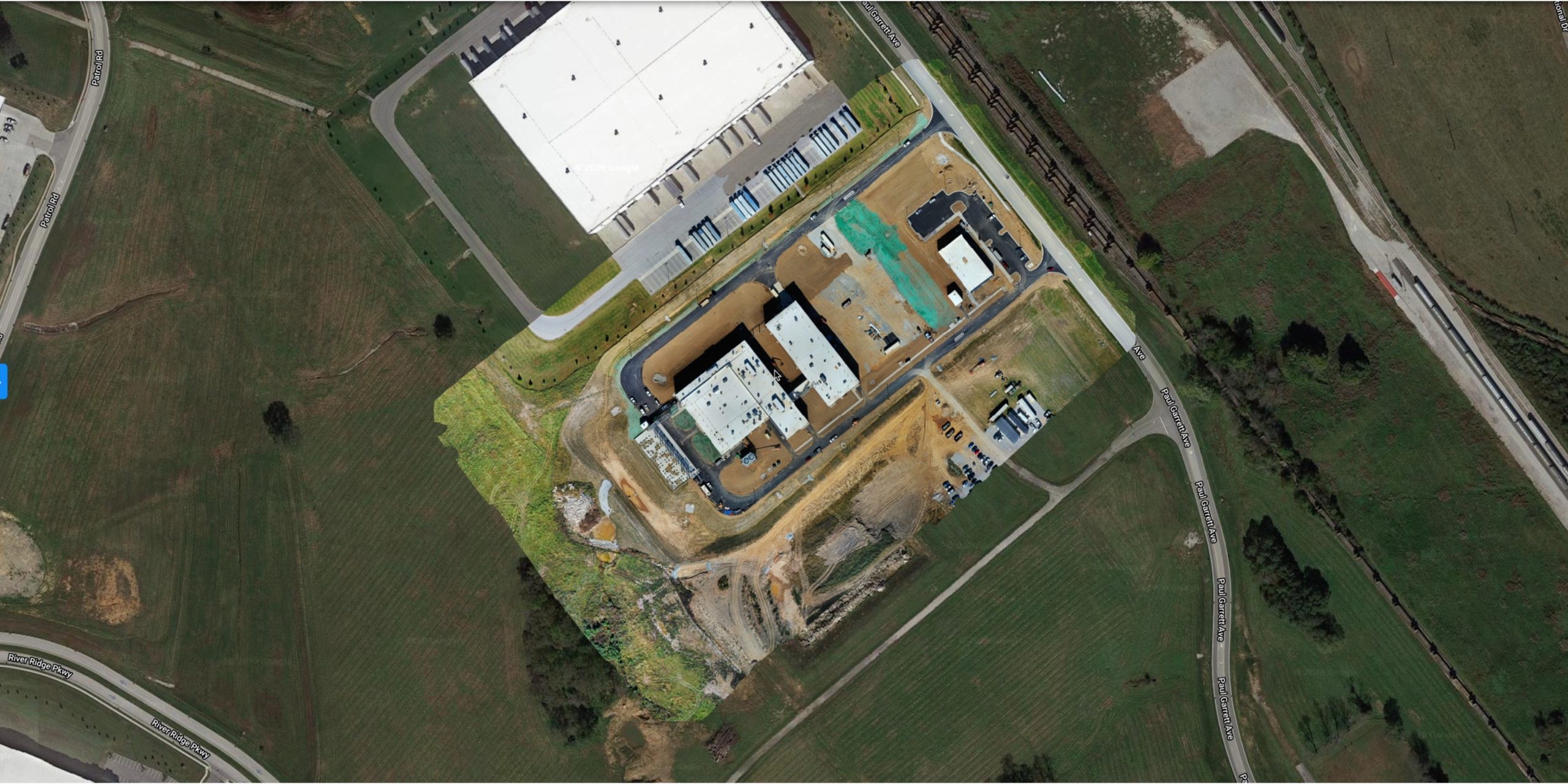
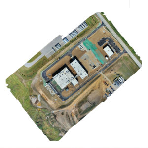
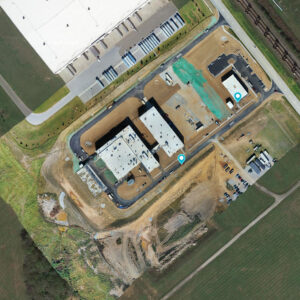
2D Mapping Example
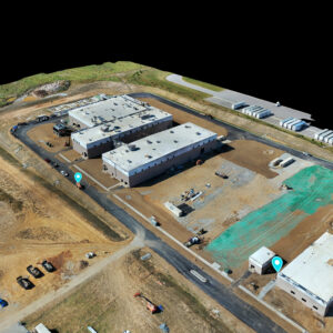
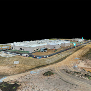
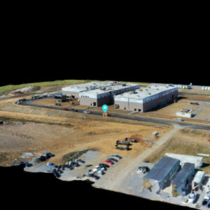
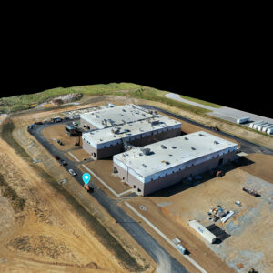
3D Mapping Example
WE CREATE ACCURATE AERIAL KENTUCKY MAPS.
We are excited to announce that we now offer Next Generation Aerial Mapping for Kentucky and Indiana.
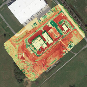
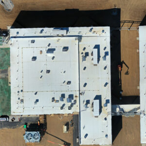
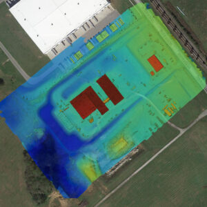
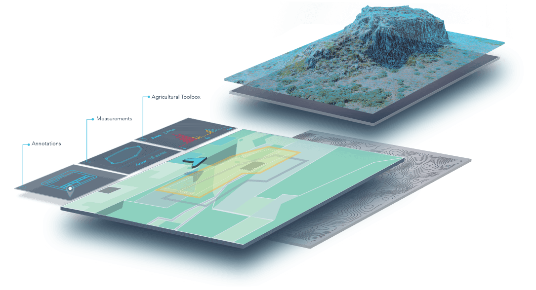
With over 20 years of experience in the fields of videography and photography, Aerial Photography Louisville remains on the cutting edge of advanced aerial mapping technology to help you better understand your world. Our mapping services include Orthomosaics, Terrain models, NDVI analysis, and 3D models. We mostly service Kentucky and southern Indiana but are willing to travel if required. We have been an effective outlet for many small businesses, as well as large corporations, with an outstanding track record for proven success. Shaun Wilson Designs
SOME OF OUR SPECIALITIES
*Aerial Mapping * Construction Aerial Mapping * Job Site Progress Aerial Mapping * Golf Course Aerial Mapping * Architectural Aerial Mapping * Historical Preservation Aerial Mapping * Emergency Services Aerial Mapping *Real Estate Aerial Mapping.


