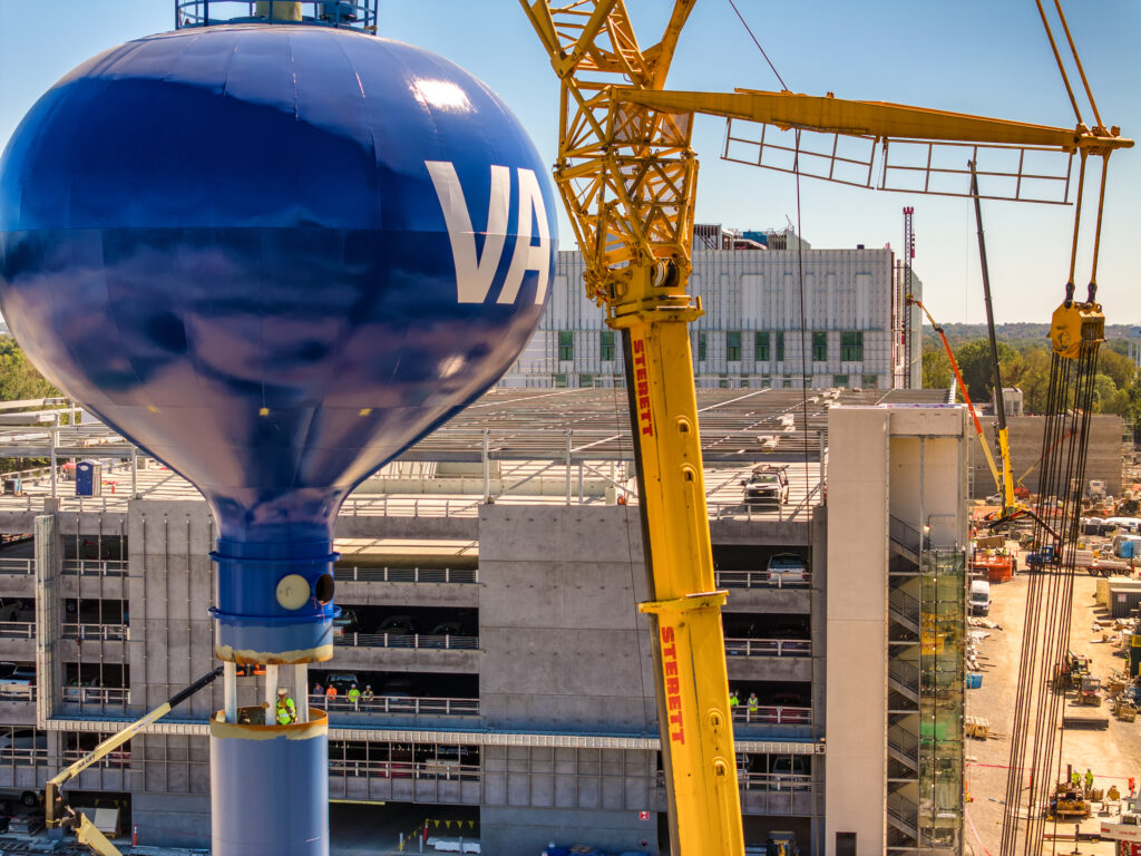
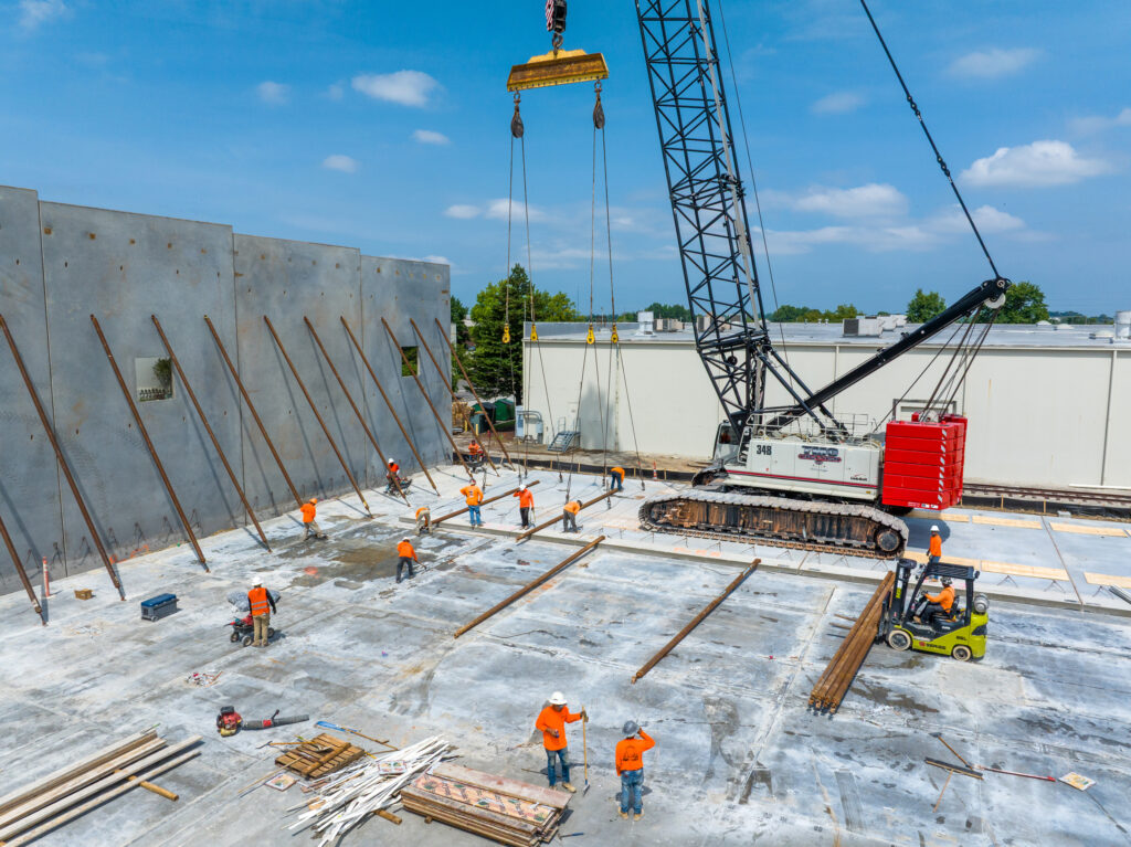
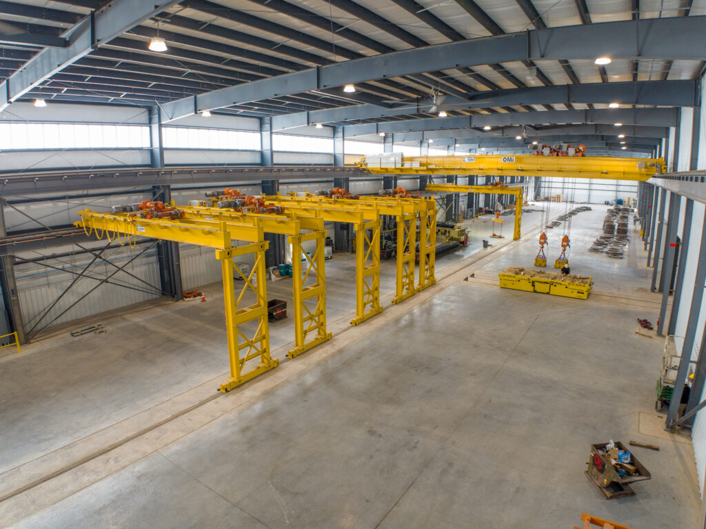
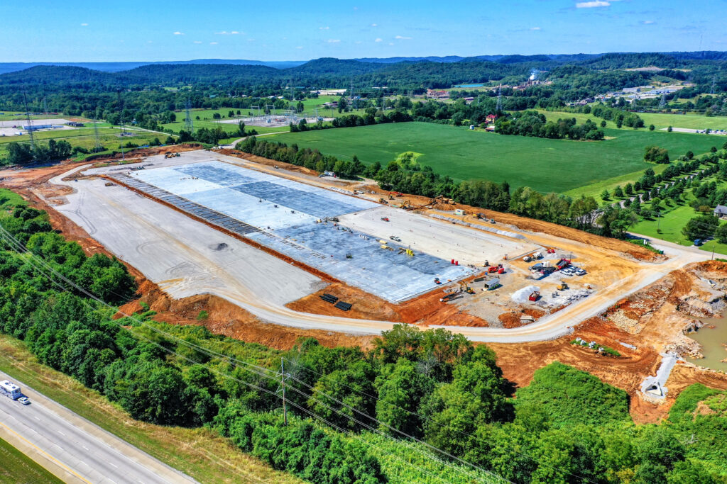
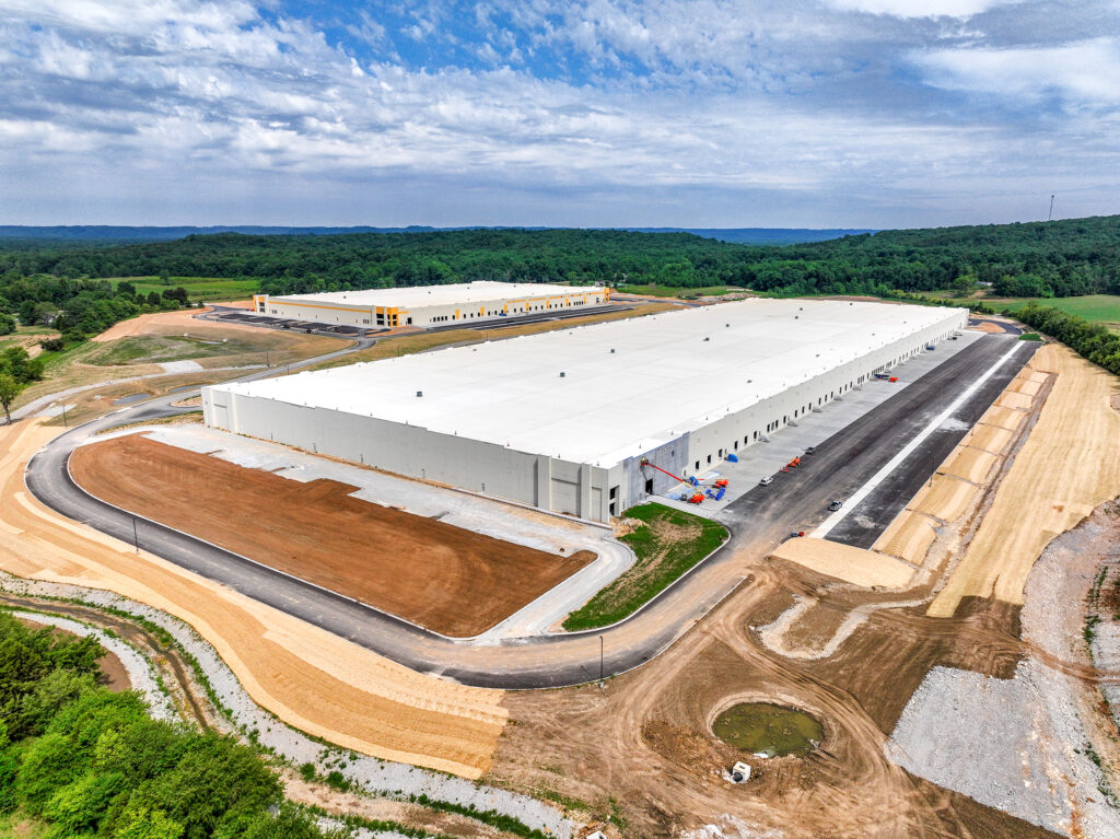
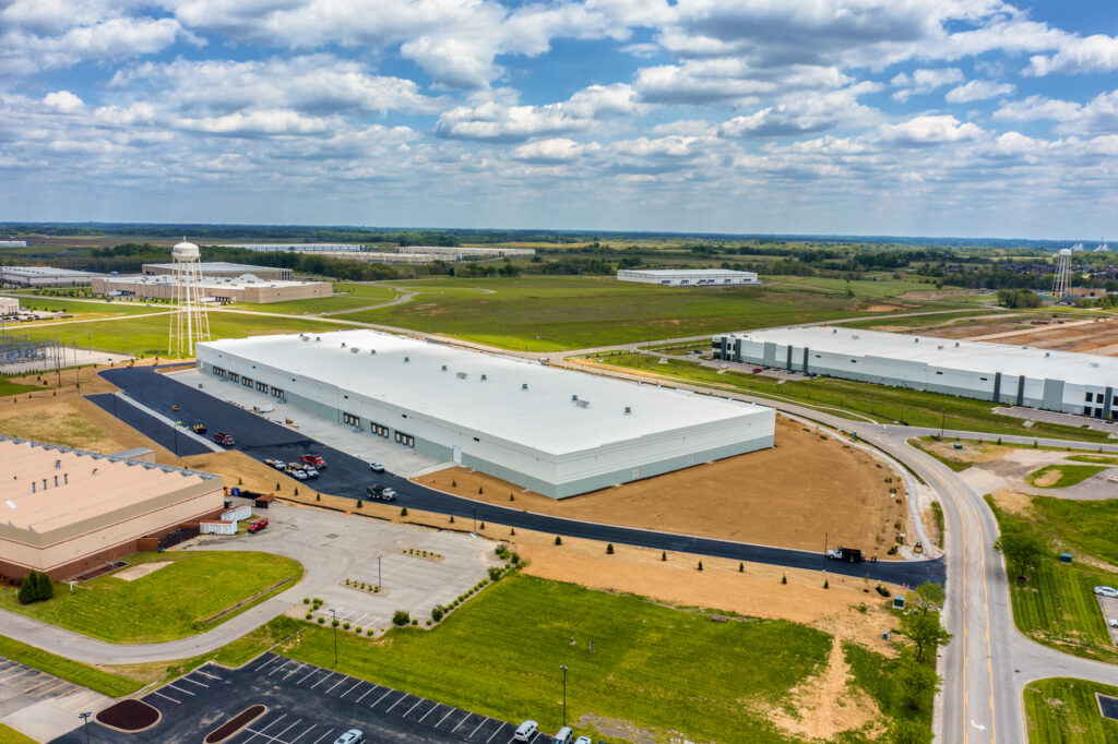
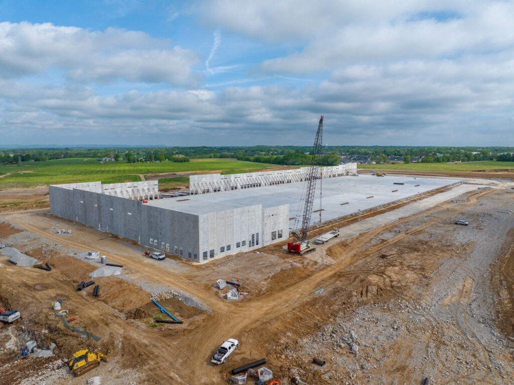
Construction Progress Photography
Professional Drone Services in Kentucky & Southern Indiana
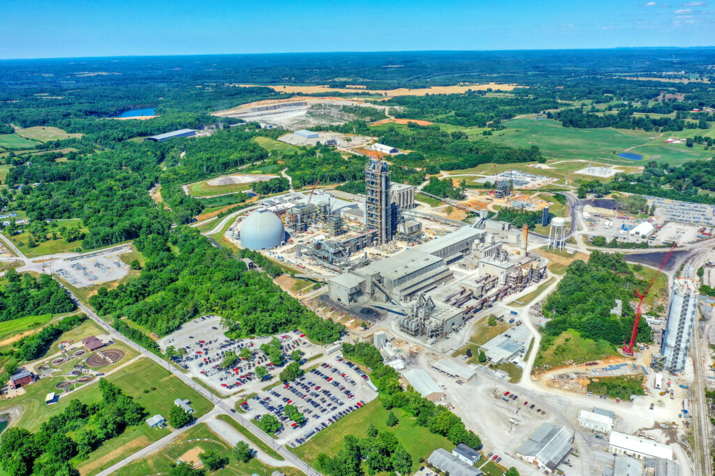
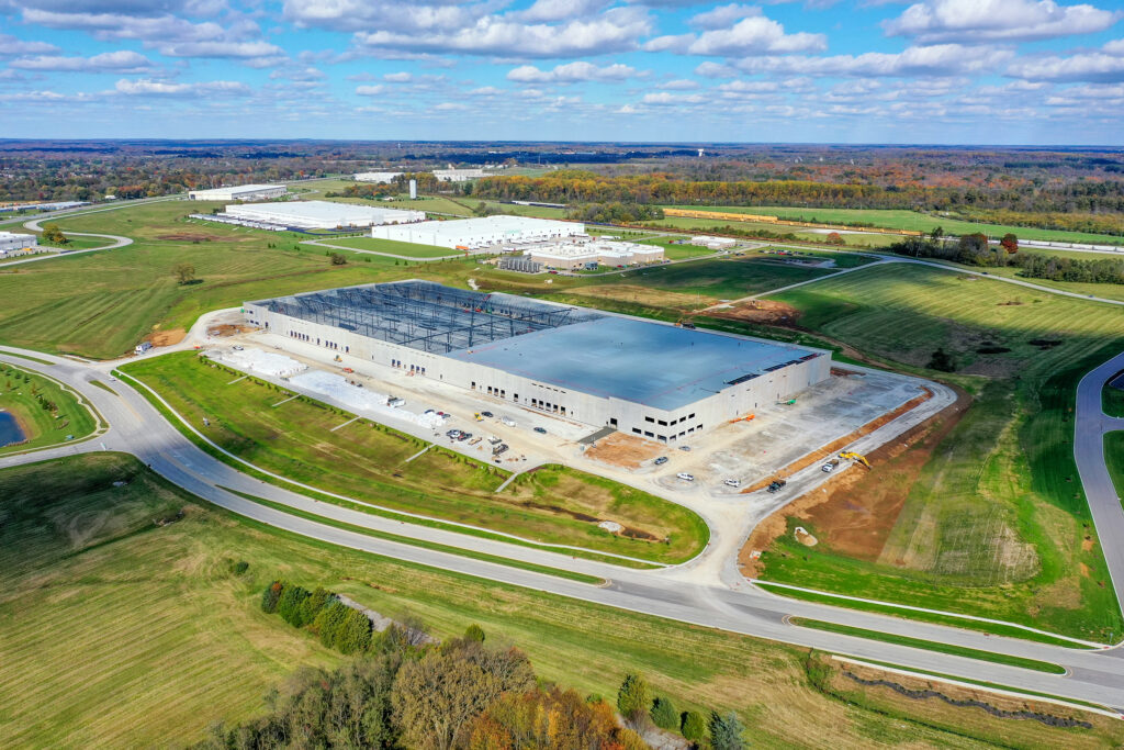
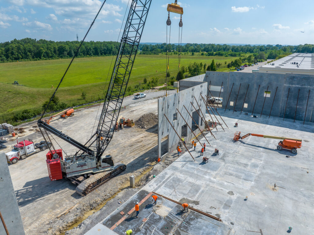
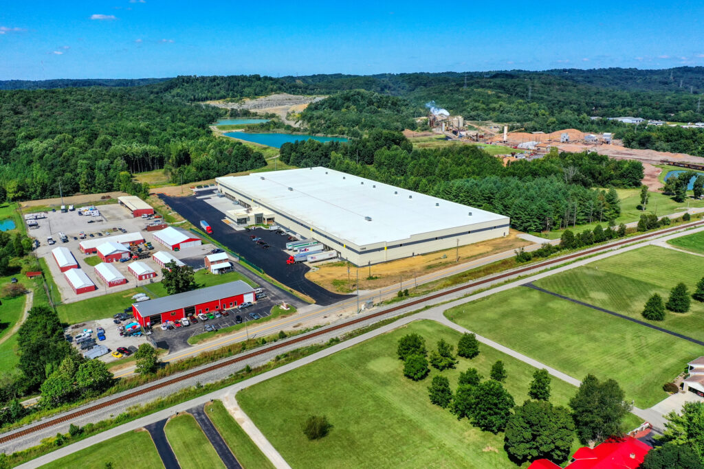
we specialize in documenting construction projects with precision and creativity. Our construction progress photography and video services deliver clear, high-resolution visuals that track your project from groundbreaking to completion. Whether you need aerial drone photos, time-lapse video, or detailed mapping, we provide professional documentation that keeps stakeholders informed, reduces site visits, and creates powerful marketing visuals.
Why Choose Construction Progress Photography?
Track every stage of development with consistent, reliable updates
Share professional visuals with investors, clients, and project managers Reduce liability with accurate site documentation
Showcase your work with marketing-ready photos and videos
Our team uses FAA-certified drones, professional cameras, and advanced editing techniques to ensure your construction progress images are clear, consistent, and impactful.
Consistent Documentation. Professional Results.
From monthly construction progress photos to final completion photography, we tailor our services to your project’s needs. With fast turnaround times, competitive pricing, and over 20 years of multimedia experience, we deliver results that clients trust. Beyond progress tracking, our aerial photos, videos, and time-lapse productions create marketing-ready content. Show off your craftsmanship, highlight milestones, and share your project’s journey with clients, communities, and investors.


Construction Progress Video
Showcase your project’s growth with dynamic aerial video updates. Our drone footage captures every angle, providing compelling visuals for stakeholders, clients, and marketing. Perfect for progress tracking, presentations, and sharing milestones.


Drone Mapping Services
Get accurate, data-driven maps and 3D models for construction, land development, and site planning. Our drone mapping technology delivers detailed aerial imagery, saving time and reducing costs compared to traditional surveying methods.
Areas We Proudly Serve
Our drone photography services go beyond Louisville—covering projects across Kentucky and Southern Indiana, including Lexington, Bardstown, New Albany, Brandenburg, and more. From construction progress to marketing visuals and inspections, our FAA-certified team delivers stunning results wherever you need us.

Aerial Services in Brandenburg

New Albany Drone Photography

Bardstown Drone Photography

Lexington Aerial Photography
Explore the Skies
From commercial projects and real estate to mapping and inspections, our drone photography and video services capture the detail, scale, and beauty that only an aerial perspective can provide.
Scroll below to explore our latest blog posts, packed with project highlights, expert insights, and inspiration. Click any post to dive deeper and see how aerial imagery can elevate your vision.
Construction Progress Video Kentucky
Professional Drone Documentation for Commercial Projects Construction projects move fast — and stakeholders expect clear, consistent updates. A professionally…Reliable Construction Aerial Photography in Louisville
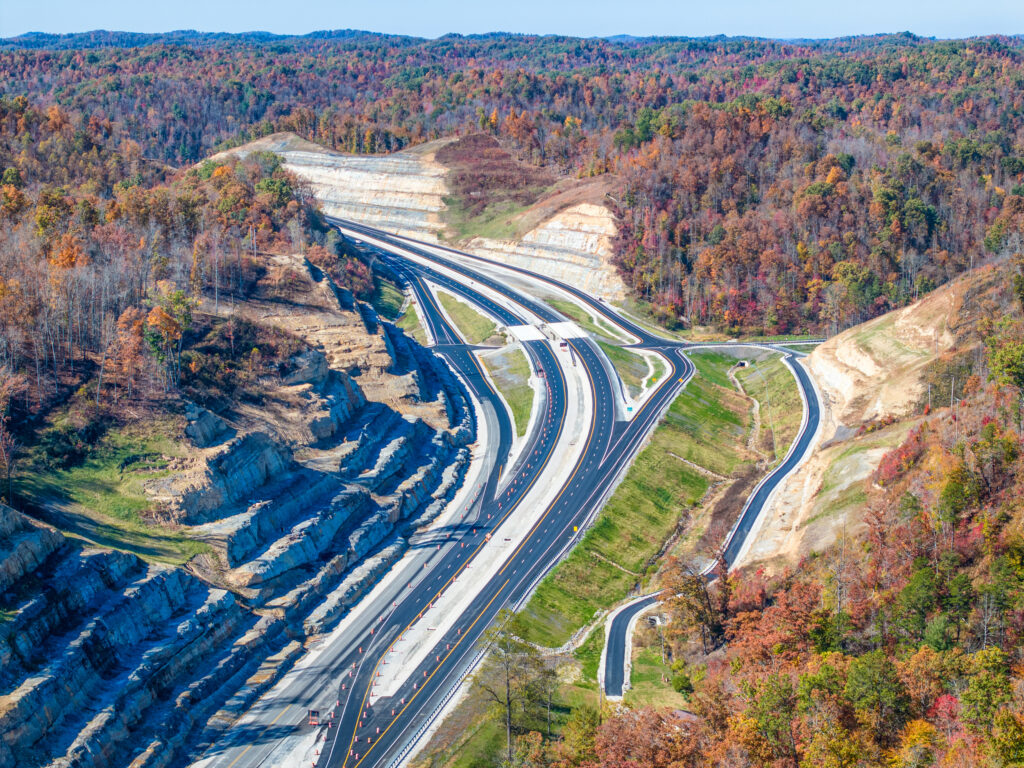
Reliable Construction Aerial Photography in Louisville: Documenting Progress Through Every Season Construction aerial photography in Louisville plays a critical…I-264/U.S. 42 Improvement Project
A $130 million construction project is transforming one of Louisville’s busiest interchanges, captured through detailed aerial photography and video…


